Thursday, October 22, 2015

Wrapping Up Our Stay in Moab, UT

We've had a terrific 10 day stay in Moab, UT at Portal RV Resort as you can see by the last four blog posts. This final post from Moab shares a few more of our adventures, but really, a month long stay would not be long enough to cover the amazing variety of things to do in this incredibly scenic part of our country.

It wasn't all hiking and biking during our stay...there is a fun disc golf course at Old City Park in Spanish Valley immediately south of Moab.

Old City Park Disc Golf course has terrific red rock views.

I mentioned before that we rode Slickrock during our 2007 visit. Though the landscape remains the same, the access has changed dramatically since 2007. Today Slickrock Mountain Bike Trail lies within the Sand Flats Recreation Area. This is a fee area that includes miles of mountain bike and 4x4 trails as well as 120 primitive campsites. We paid the $5 day use fee and drove through miles of sandstone formations to an access point for Porcupine Rim. We walked a mile or so to the Rim for amazing views into Castle Valley. Clearly, Sand Flats Recreation Area deserves more time for exploration in a future visit!

Castle Valley seen from Porcupine Rim moments before the rain started to fall!

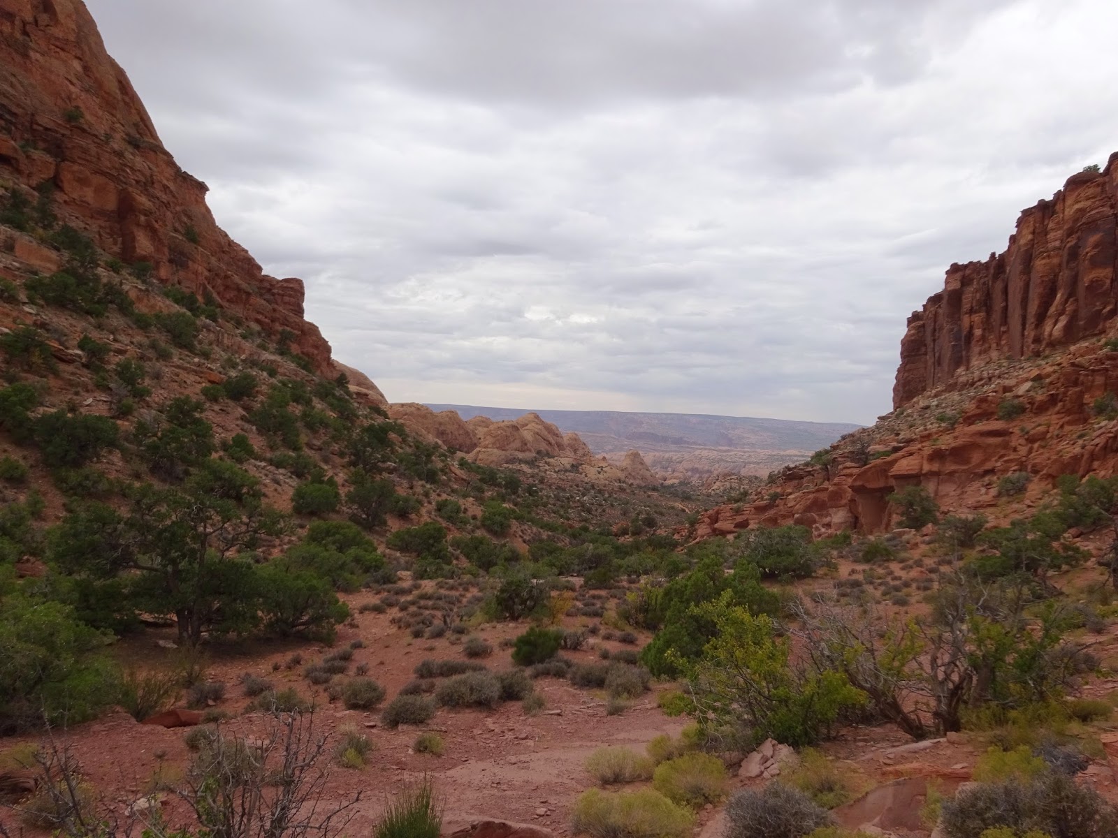
We picked a cloudy, cooler day to hike Hidden Valley; the 680 foot elevation gain would have been tough under the blazing sun we'd had on previous days. From the trail head it's about two miles to a pass with excellent views North to Poison Spider Mesa and Canyonlands National Park. At the pass we took a well used side trail to search for native american petroglyphs.

We ended up looping the entire rock art covered mountain, finding more petroglyphs around the backside, and searched in vain for some ruins rumored to be nearby. This area would be gorgeous at any time of the year and has many miles of exploration potential, and it's just a couple of miles south of Moab!

In October the valley grasses are showing their fall hues.

At the two mile mark we reach the pass where we begin the search for petroglyphs on the tall varnished walls to our right.
Views to the North include canyons and sandstone formations surrounding the Colorado River.


Scrambling along this entire wall offers up many panels of rock art. See Hans just below the wall?


Wonderful terrain beyond the rock art site.
The Moab Rim 4x4 trail is visible at center.

Beautiful Hidden Valley.

Negro Bill Canyon is a popular trail just a few miles up the Colorado River from Moab. It's a gorgeous two mile walk up a lush canyon alongside a burbling creek to Morning Glory Natural Bridge; its 243 foot length is the sixth longest natural rock span in the US. We hiked to the bridge in a light rain and were rewarded with a group rappelling from the bridge!

Negro Bill Canyon was named after William Granstaff,
a black prospector and rancher who grazed his cattle here in the late 1800's.

There were many stream crossings.

The poison ivy was in full autumn splendor.

The rappellers were on a guided tour coming down from Sand Flats Recreation Area above.


We've moved on to Monticello, UT, a rare driving day in the rain for us, and with a 45 degree daytime temperature, much cooler than Moab!

Corona Arch and More, Moab, UT

Corona Arch is a well known landmark in Moab, UT. It is accessed via a 1.5 mile trail with a short metal ladder and a couple of steel cables for safety thrown in to make it exciting for families. We hiked it on a week day with a chance of scattered showers so we didn't run into too many people, I am sure it can be a mob scene on a typical blue-sky weekend.

As we crossed the railroad tracks on the Corona Arch trail the sun was just right so we could see an arch across the canyon and we wondered if it was our destination. Once we reached Corona and Bow Tie Arches we knew the first arch we had seen was something else entirely!

After enjoying Corona and Bow Tie we went off trail and with a bit of creative rock scrambling and an extra half mile or so of travel we came to the unnamed arch and welcome solitude along with more fantastic views.

Threatening skies add drama to the colorful landscape.
Here, the Colorado River and the Potash railroad tracks curve gracefully through sandstone formations.

Can you see the sun shining through the arch across the way?
That became our off trail destination.

Looking back down Corona Arch trail.

Bow Tie Arch.

Hans stands under the enormous Corona Arch.
Crazy people swing on ropes through this arch...some have misjudged the span and lost their lives!


We traverse the flanks of the sandstone formation, making our way towards the unnamed arch
with spectacular views all around.

Woohoo! Arch found and no one else around!


More off trail scrambling on the way out gave us a different view of Corona Arch.
There are tiny dots of people under the arch.

A very red Colorado River.

A drive further out Potash Rd. brought us to Jug Handle Arch.

Indian art along Potash Rd.
Fortunately these panels were high above the road bed and thus safe from vandals...
other panels along the road were not so fortunate.


Tuesday, October 20, 2015

A Little Mountain Biking in Moab

Moab, UT is considered one of the best places for mountain biking in the world, and we did our share when we visited the area in 2007. Back then I was a lot more confident on the mountain bike and even completed the world famous Slickrock Trail...the hardest trail I have ever ridden, and I can honestly say I will never ride it again...it kicked my butt!

These days we've been hiking a lot more than riding, in fact we hadn't taken the bikes off the back of the RV for months. We also hadn't ridden any really technical mountain bike trails in years, maybe not since May 2013 when we rode the incredible Phil's World in Cortez, CO.

So...we knew we had get those bikes dirty, we're in Moab after all, but we (well really, I) didn't want to get in over our heads either. A couple of people suggested Dead Horse Point as a good "easy" ride and an experienced rider here at Portal RV Park (thanks Bill!) gave us all the detail we needed to feel confident about this ride.

Dead Horse Point State Park sits atop a mesa overlooking Canyonlands National Park and the Colorado River. It has a well-signed trail system with trails designated as easy, moderate or difficult. We rode the entire outer loop, a 15 mile mix of easy/moderate trails with breathtaking views into the canyons below. It was a great way to get back into the saddle and I only had to hike-a-bike on a few brief  sections!


I think this is a young long nosed leopard lizard, it was about 6 inches long.


Believe me, not all of the trail was this smooth!

View from Dead Horse Point after the ride.

Since we both survived Dead Horse Point, a few days later we again took Bill at the RV parks advice and rode out at Klondike Bluffs. Hans had ridden here in 2002 with his friend Martin, today there many more miles of trails to enjoy, for a wide variety of experience levels.

There are excellent trail signs at every intersection, including information on level of difficulty for each trail so you can customize your ride to your ability or energy level. We put together a fun 12 mile loop of Easy and Intermediate level trails that gave us a taste of what was possible here.

It had rained the morning we rode and Klondike Bluffs Rd has a nasty sandy mud section when it's wet...we headed directly to the do-it-yourself car wash after the ride...that stuff was caked on like glue! There were a few mucky sections on the lower trails too, I wish I had taken a photo of my bike loaded up with mud at one point, I don't know how the wheels were able to turn! Fortunately by the end of the ride the mud had hardened and dropped off the bikes due to all the bumpy slickrock sections!

Excellent maps at every intersection.

Jurassic Trail.
 
Agate East Trail.

Crossing slickrock on Dino Flow Trail.


Sunday, October 18, 2015

Arches National Park

During our 2007 road trip to Moab, Hans and I spent a lot of time in Arches National Park. From the moment we entered the park I fell in love with its unique landscapes, colors and textures and knew there was no question, I must return someday. Eight years later, now retired (YAY!) and living on the road (double YAY!) we are back.

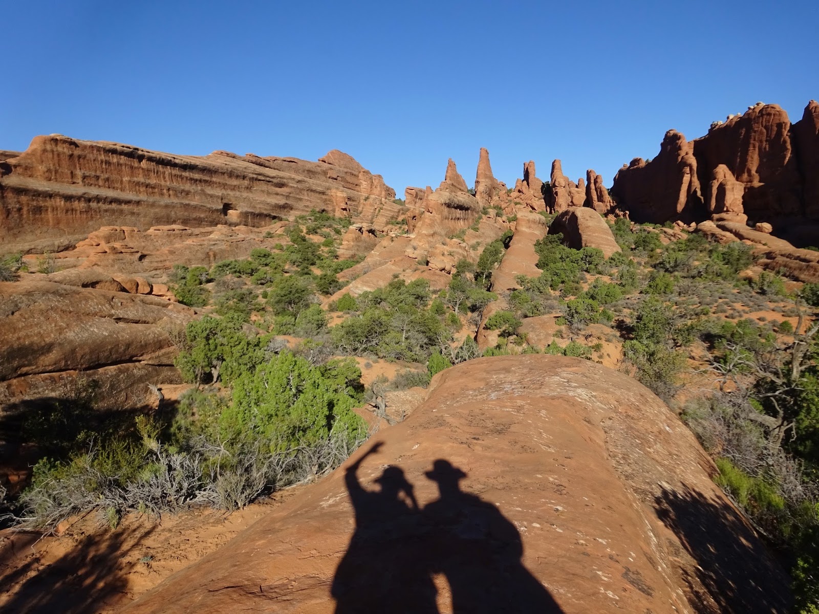
We decided to repeat hike the longest (and best) trail in the park: the Devil's Garden/Primitive Trail loop. It's a little over seven miles and took us down into and on top of the sandstone fins and among several arches. Starting out early in the morning the Primitive half of the loop was devoid of people, our return through Devil's Garden was just the opposite. Oddly, when we visited in late April 2007 we saw only a handful of people on the entire loop!

First a few photos from the road to Devil's Garden...

You never know what you'll see when you look through an arch!

I love to imagine the eons of time these colorful layers of stone represent.

Uh oh! This wall has been compromised!

And now we'll take a hike along the Primitive side of Devil's Garden...

Submarine!

Easter Island?

Top heavy!

The trail heads into these sandstone fins.

It's a glorious day and no other people in sight yet!


Hans is on the trail, there are several places where we must scale the fins.

The cairn marks the trail...


We hike up a few fins to check out the views off the trail.
Looks like clay pots atop this one!

Peering into the abyss!

Private Arch

This is the point where we met up with the main Devil's Garden trail.
Though you can't see them, there are at least 20 people standing near Double O Arches

The Primitive Trail took us through these opposing rows of fins.

We're walking on a white fin.


There are two arches here at Partition Arch, see the guy beyond Hans; he is in the second opening.

It's the narrow sections with obstacles that cause bottlenecks.
Not our favorite kind of hiking...fortunately this was an extreme example, not constant!


On our second visit to Arches we hiked the Sand Dune/Broken/Tapestry Arch Loop as a prelude to a trip into the Fiery Furnace.

Sand Dune Arch

Broken Arch


Tapestry Arch in shadow.

Tapestry Arch

The Fiery Furnace is a natural labyrinth among sandstone walls and access is limited to 100 persons per day. There are three options for entering the Fiery Furnace: take a ranger led hike for $16, obtain a personal permit for $6, or take a tour with a private company for $89 (at least one company charges this rate).

Being low budget travelers who like to travel at their own pace, we chose the personal permit. We had to watch a short video detailing the rules for Fiery Furnace with a brief quiz afterwards by the ranger before we were issued the coveted permits. Basically you can only walk on slick rock or in washes to preserve this delicate environment.

There are many dead ends in the labyrinth so steps are retraced often and it can be easy to get disoriented. There are no trails or markers of any kind so it's important to carefully observe your surroundings so you can find your way out.

We were told not to follow groups, that we should respect each others space...but we think the main reason is that some people are paying a lot of money for their tour so it's not fair to just tag along if you haven't paid for the talk!

Towering sandstone provides welcome shade...this is a great place to explore on a warm day!


Fiery Furnace from across the valley, it's about a square mile of sandstone fun!

Arches just may be my favorite National Park so far. I'd love to visit late winter/early spring to avoid the crowds; the only way to experience solitude right now is to arrive very early in the day.

More Moab coming up...!