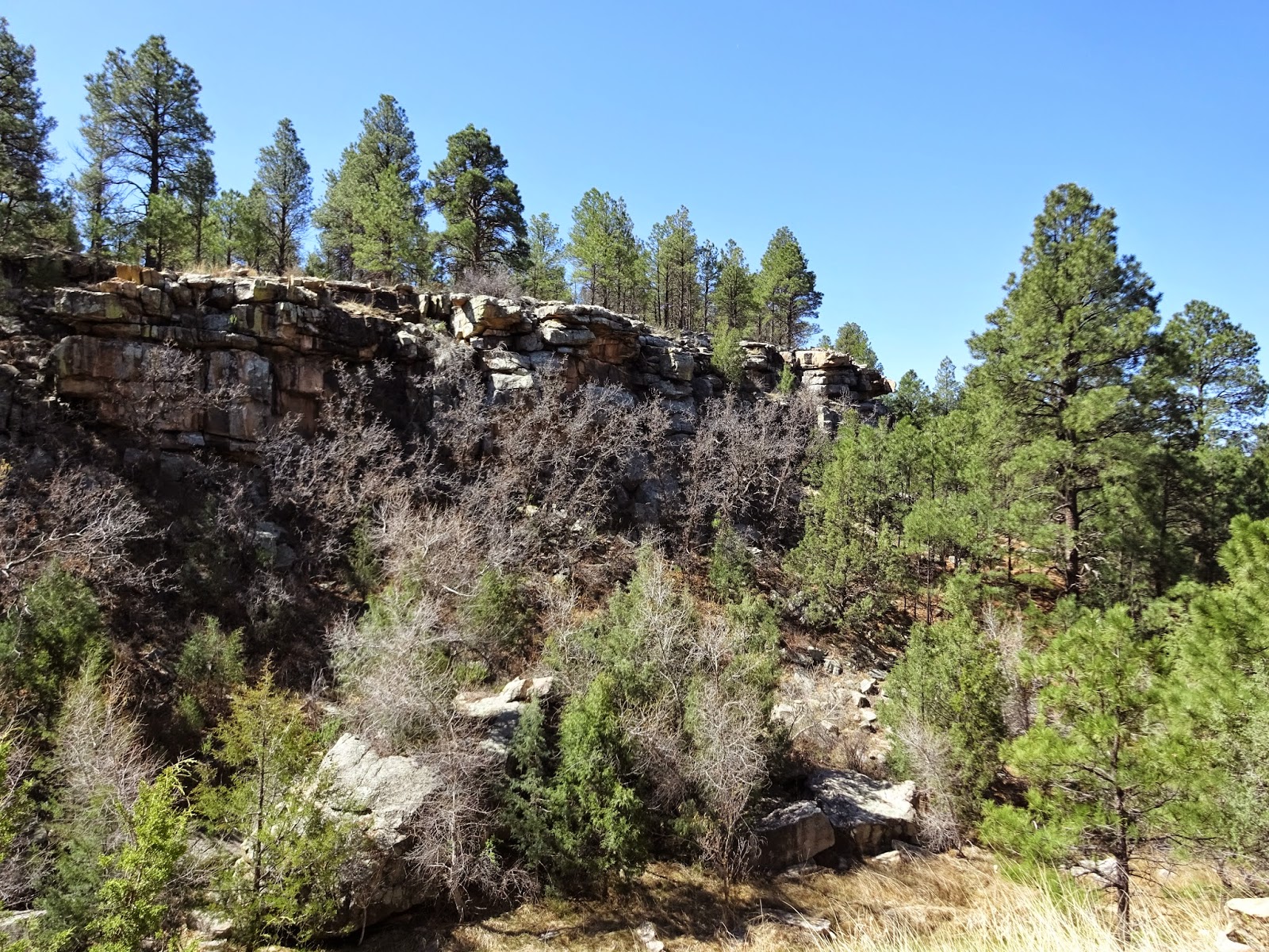
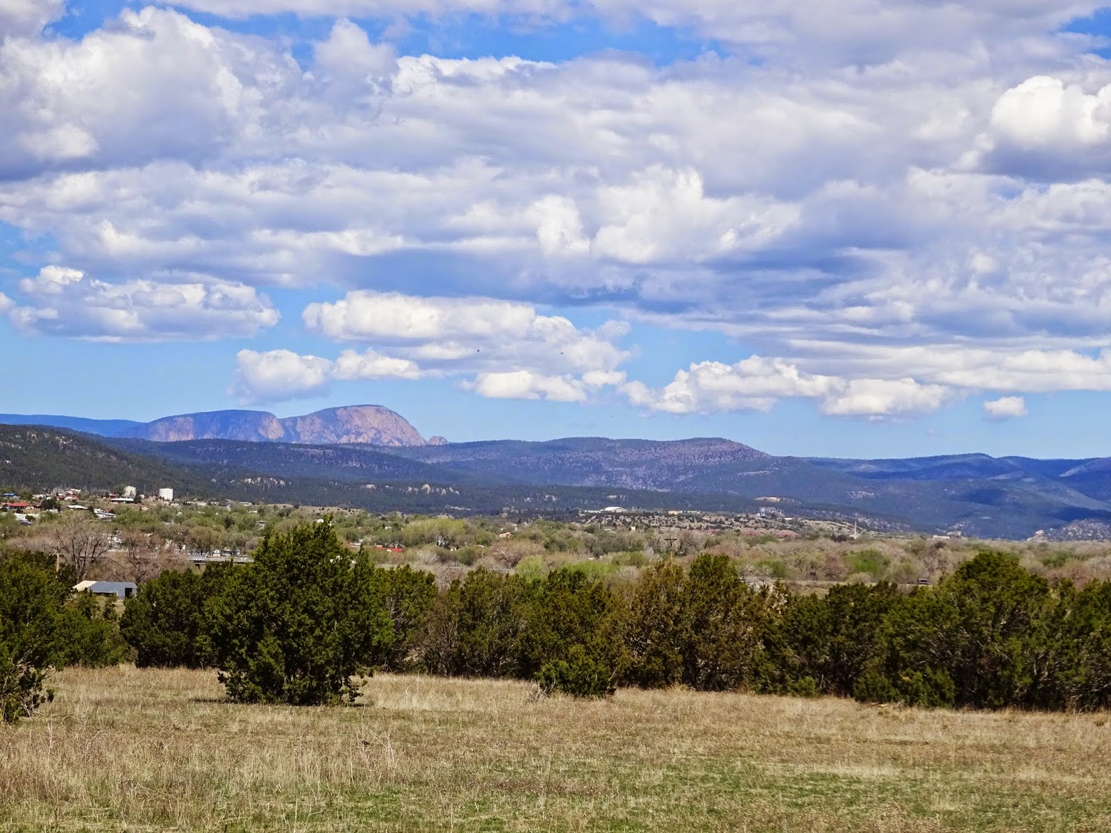
The transition from New Mexico to Colorado on highway 25 is not subtle. After driving across miles and miles of wide open plains, moments before entering Colorado you rise into the mountains and are enveloped in a forest of green as far as the eye can see. Colorado, how we love you!
Settled at Trinidad Lake State Park for a few nights, our first excursion was a driving tour: the
Scenic Highway of Legends. We happen to be hot on the heels of our friends Steve and Mona Liza and you can read Mona Liza's story of their drive, just a week before ours,
here.
The southern end of the Highway of Legends happens to be right at the entrance to our campground, so we headed North towards the snowy peaks intending to loop back on highway 25, a round trip of about 120 miles.
This highway was the first scenic byway in Colorado and it is a beauty. I just wish the state would put in more scenic view turnouts so you can really stop and enjoy the majesty all around you. Often, the only place to stop was right underneath a massive rock formation, but nowhere to stop to admire it in its entirety from a distance.
 |
| Coke ovens outside of Cokedale, CO. |
 |
Cokedale was a booming coal and coke producing town for 40 years (till WWII).
Large piles of coke byproduct (the big black pile above) can be seen along the Southern portion of the Highway of Legends. |
 |
The snowy peaks of the Sangre de Cristo Range of the Rocky Mountains provide a gorgeous backdrop
to the small towns lining the Purgatoire River. |
 |
We drove a couple of miles up the road to the Bosque Del Oso State Wildlife Area
and saw a new looking beaver dam on the South fork of the Purgatoire River. |
 |
The House on the Bridge.
The bridge was part of the original road from Trinidad to Stonewall.
After the road was rerouted in 1918 the land owner built a house on the bridge. |
 |
| Can you imagine being in that house during a flood?! |
 |
The tiny town of Stonewall is named after the massive Dakota Sandstone walls that traverse the area from North to South.
Here, a sandstone wall juts out of the ground, providing an impressive backdrop for an old cabin. |
 |
The Devil's Stairstep is a dike formed between 25 and 27 million years ago.
We were excited to see a group of Big Horn Sheep along the dike... |
 |
| There were at least eight sheep hanging out on the hillside, here are three. |
 |
| What do you think he is saying??? |
 |
| Another view of Devil's Stairsteps. |
 |
| The valley we drove through near Devil's Stairstep was gorgeous! |
 |
| Looking back at Devil's Stairstep marching across the hillside on the left. |
 |
| Profile Rock. |
 |
| The Spanish Peaks look surreal behind Profile Rock. |
Leaving the Highway of Legends and heading East on hwy 160, our drive brought us to
Lathrop State Park in time for lunch and a hike. Lathrop has two lakes, a couple of trails, 103 campsites and looks like a fantastic place to stay. The Spanish Peaks dominate the view in these parts and should be visible at every campsite. We hiked the 2.5 mile Hogback Trail, which took us up on a ridge and offered glorious views.
 |
| The Spanish Peaks as seen across Martin Lake at Lathrop State Park. |
 |
| Granite boulders near Pinon Campground at Lathrop SP. |
 |
| Atop Hogback Ridge. |
 |
The view from Hogback Ridge was expansive.
The lakes in the foreground are in Lathrop State Park. |
 |
| View of the campground from Hogback Ridge. The park was pretty full on a Saturday. |
 |
| Cooling his belly in the shade? |
The last stop on our loop drive was
Dodgeton Creek Brewing just North of Trinidad, CO. This is a young brewery, opened late 2014, and the beers need some refining, but we found the darker brews (milk stout, porter) to be the best of the bunch (we tried them all in their 10 beer flight). Best of all a local was there with his 9 week old Jack Russell puppy...I was in heaven!
 |
| Craft beer and a puppy...does it get any better than this?! |
Black and White Photo Challenge Day Four. Today's photos come from an excursion to the
Fossil Ridge Wilderness outside of Gunnison, CO in 2013. These old buildings set among an aspen grove were interesting in color but perhaps even more intriguing in black and white.
Today I invite Gay of
Good Times Rollin to take the challenge! Gay and Joe and their four pups have been on the road for almost four years and Gay is an amazing photographer, check out her blog!
The only rules of the challenge are:
1. On five consecutive days create a post using a recent or past photograph in black and white.
2. Invite another blogging friend each day to join the challenge.