We've spent the past week at
Whispering Pines, a small private RV park in the Black Hills, just off highway 385 about 20 miles West of Rapid City, SD. From this vantage point we had access to a number of hiking trails within a few miles of our park, but the excessive rain this spring has made some of the trails impassable due to creeks overflowing their banks and wiping out some trails and bridges.
The
Flume Trail follows the old Rockerville Flume bed for about 11 miles with several access points. We first tried to hike from the Spring Creek trailhead but a third of a mile in we discovered raging Spring Creek had wiped out a crucial bridge on the Flume Trail.
 |
| Spring Creek flows out of Sheridan Lake and is currently overflowing its banks and wiping out flimsy bridges. |
Determined to hike some of the Flume Trail, we drove to the Boulder Hill trailhead and were able to hike the 3.8 mile Loop B of the Flume Trail. This was a super easy hike, mostly flat, with welcome shade on a warm day and the opportunity to search for historical evidence of the flume.
Built in 1880 to bring water from Sheridan Lake to the Rockerville gold mines, the flume was 20 miles long and was in use for 5 years. Today you can walk the flume bed for miles and see patches of wood from the flume itself and search for the square wooden nails used at that time. This is a National Recreation Trail due to its historical significance and artifacts are protected.
 |
| Pleasant walking along the Flume Trail. |
 |
| I had fun searching for square nails! |
 |
| A bright Amanita mushroom peeks out from the pine needles. |
Once we finished Loop B we still had some energy so we tacked on the Boulder Hill Overlook spur trail which was accessible from the same trailhead. This 1.5 mile out-and-back trail was well worth the effort. Boulder Hill is aptly named and provides fantastic 360-degree views of the Black Hills, including Harney Peak to the South West.
 |
We broke out of the forest and came face to face with the giant chunks of rock that make up the top of Boulder Hill.
An easy scramble through the rocks brought us to breathtaking views of the Black Hills |
 |
The high point on the left in the distance is Harney Peak.
It's a little hazy due to fires in Canada. |
 |
| Boulder Hill is the perfect place to hang out for a while and soak in the Black Hills. |
 |
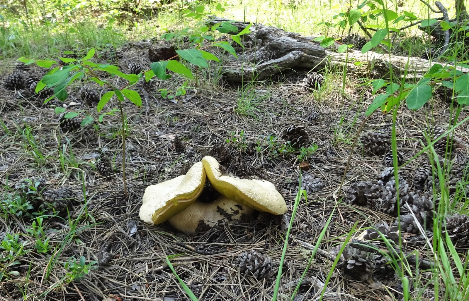
| A double headed mushroom!..and it's big, at least 10 inches wide! |
Another day we rode a section of the
George S. Mickelson Trail, a 109 mile long rails-to-trails trail with 15 trailheads from Edgemont, SD to Deadwood, SD. Most of the trail runs close to state highways; we chose to ride the section between Rochford and Mystic because it was away from highways and included a couple of tunnels.
What a gorgeous ride! This section of the trail follows Rapid Creek so we were surrounded by forested hills and massive slate covered hillsides. This would be a great ride with a shuttle so you could cover more distance and we did see a van pull up with a trailer full of bikes so it is possible to find shuttle/drop off services in the Black Hills. In retrospect we should have parked and ridden from South to North because the return trip of 10 miles of flat, almost straight, two percent incline was really hard on the neck and back!
 |
| One of many bridges crossing Rapid Creek. |
 |
An historic church in Mystic, SD.
Notice all the dead Ponderosa on the hillside...this area is quite remote so the Forest Service
hasn't managed to clear the dead trees yet...it is a really big job all over the Black Hills. |
 |
| Rapid Creek |
 |
| The area around Custer was full of granite, as we've moved North the rock has changed to slate. |
 |
| More slate in a completely different format. |
 |
| Well maintained gravel surface on the Mickelson Trail. |
We did a short hike up to the
Seth Bullock fire lookout atop Scruton Mountain one day. It's really just a 1.5 mile walk up a closed road to the unmanned tower, but it made for a good leg stretcher with some okay views at the top.
 |
| Seth Bullock Lookout. |
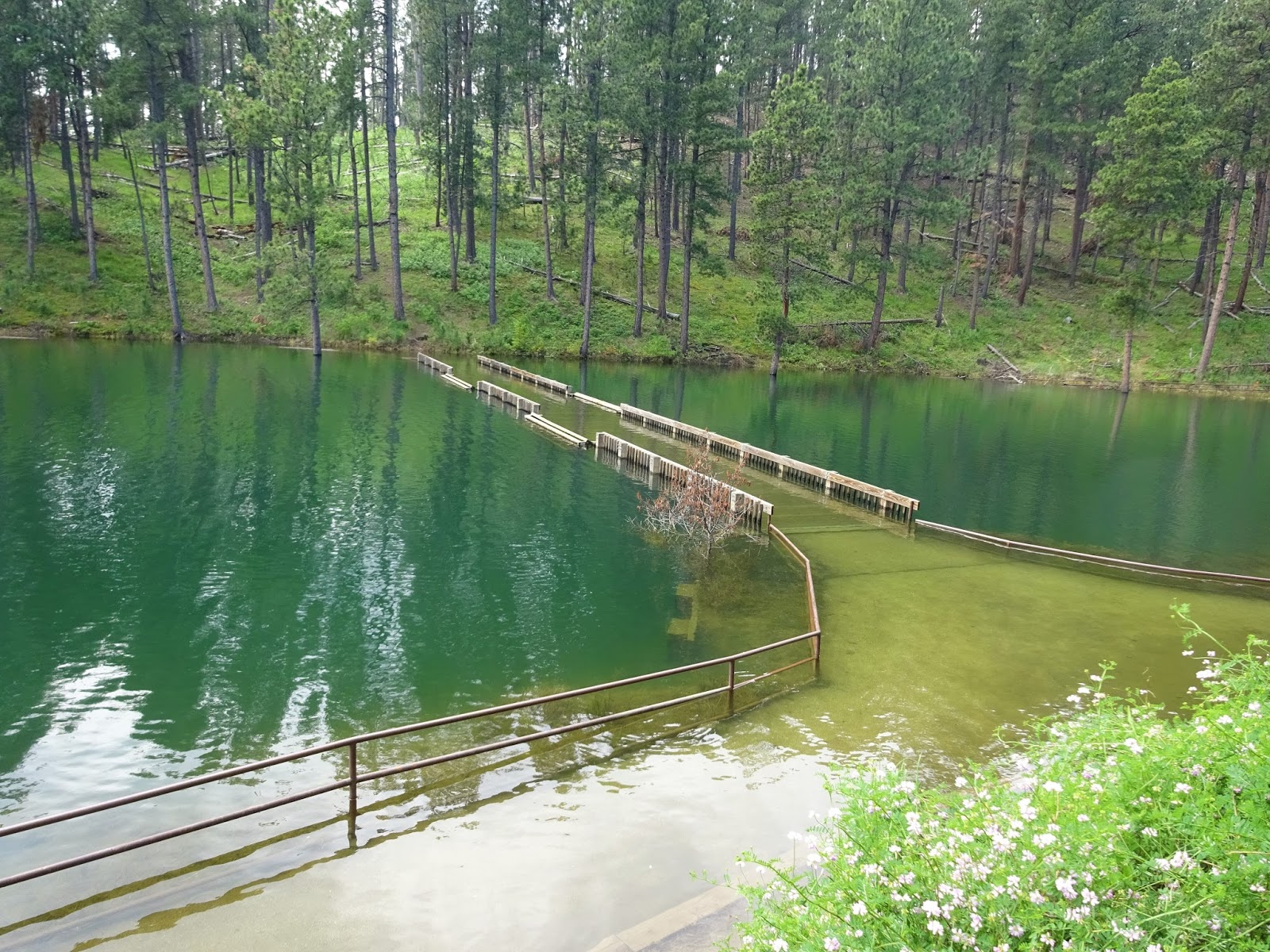
Pactola Lake is the largest reservoir in the Black Hills and provides water for Rapid City, the lake is just a couple of miles from our RV park. Currently the lake is nine feet above the high water line and they are letting out water as fast as they can without flooding downstream communities.
We hiked the Osprey Trail, it's about 2.5 miles of trail, mostly along the lake, though we didn't see any osprey, we did see a lot of Ponderosa Pines in the water.
 |
There are several campgrounds at Pactola and it is a popular boating destination.
We saw several of these camping boats and families having fun over the holiday weekend. |
 |
| The Veterans Point Trail at Pactola Lake is mostly under water. |
On July 4th we drove in to Rapid City to visit a former roommate of Hans from his Albuquerque days, Abena. First we stopped at kitschy Dinosaur Park.
 |
Dinosaur Park sits atop a ridge overlooking Rapid City.
There's still some haze from the Canadian fires. |
 |
We stopped at Founders Park for the weekly farmers market, but found very few vendors due to it being a holiday.
But this cement sculpture grabbed my attention. |
It was great to catch up with Abena, we last saw her in San Diego before we sold our house. This time we got to meet her sweet pups too!
 |
| Abena holding Ernesto and Hans holding Santana. |
 |
Abena introduced us to a new pizza franchise: Blaze Pizza.
Blaze specializes in scratch-made, fast-fired, made-to-order pizzas and they were tasty! |
We also checked out a new-to-us sporting goods store, Scheel's. Scheel's is a lot like Cabela's, which is their competition in Rapid City, and they had several interactive games in the store...we had fun playing Rollerball, a mini bowling alley!
 |
| Rollerball! |
Another trail near our RV park is the
Deerfield Trail. It's a 23 mile trail plus an 11 mile loop around Deerfield Lake. We chose to park at the Silver City trailhead and do an out-and-back along Rapid Creek. Fortunately the bridges along this section of trail were solid and we were able to hike about 2.5 miles before the trail was submerged by a rogue branch of high flowing Rapid Creek.
This is a gorgeous section of trail with enormous walls of slate alternating with lush ponderosa and spruce forest. Other hikers we met spotted a mountain goat at the trailhead. Bug spray is a necessity for spring hiking!
 |
| Slate walls contain Rapid Creek. |
 |
| Our wildlife sighting for the day. |
We finished off our week with a fun RV meetup. Thanks to
RVillage, we met Marc and Julie right in our RV park. They've been on the road for a year now, working full time and blogging at
RVLove.com. It's too bad that we're heading in opposite directions...We'll look forward to meeting them again some day, some where, and sharing stories of our travels in between!
 |
| Marc, Julie, Lisa, Hans. Thanks for the photo Julie! |
Whispering Pines RV Park turned out to be a great place to spend the holiday. Park roads are gravel but all of the sites are on grass. In a normal year this would not be a problem, but this year the excessive rain has made the sites a little difficult for the heaviest rigs. The extremely hard working and friendly park owner provided large wood pads to put under our jacks and we had no problem despite frequent heavy showers during our week long stay.
The park has a brand new salt water swimming pool that was really refreshing after hiking on a couple of hot days. There are several cabins, plus a restroom and laundry building, and small playground.
Though the RV park filled up for the 4th of July weekend, our part of the park remained quiet and we had the most peaceful July 4th ever. Just like our last RV park in Custer, ATV's were welcome but people did not ride around the park on them; in fact we never saw or even heard ATV's on any trails in the Black Hills.
Though this RV park gets some noise from highway 385 along its east side, it is very quiet at night. The owners are working hard to make this a really nice place to stay in the Black Hills and we are glad we chose to stay here.
 |
We had site #2 and only had a neighbor on one side during our entire stay.
The previous owners jammed people in here back to back, sharing utilities.
The new owners fill every other site, for a much more pleasant atmosphere.
The pool is in the fenced area next to the office (brown building).
The pool was packed over the holiday, but really nice and calm during the week. |
 |
| The ideal kitty jungle gym! |
Next stop:
The Northern Black Hills: Spearfish, SD